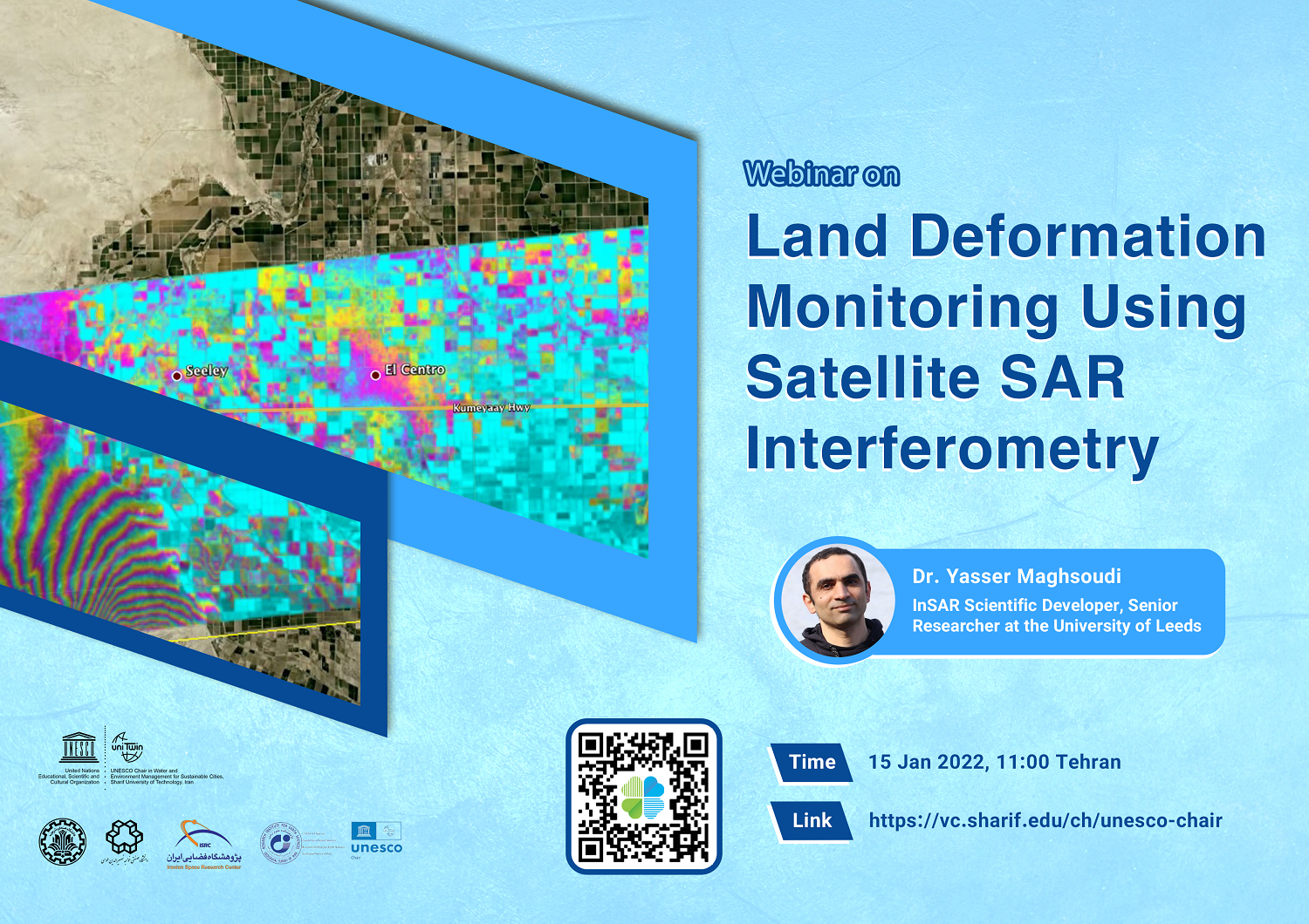
15 Jan 2022, 11:00 Tehran
Lecturer: Dr. Yasser Maghsoudi, InSAR Scientific Developer, Senior Researcher at the University of Leeds
Abstract:
Interferometric Synthetic Aperture Radar (InSAR) is a Satellite remote sensing technique which is capable of measuring millimetric motion of terrain over wide areas. InSAR uses two or more synthetic aperture radar (SAR) images of the same area in different times to measure movements of the ground surface. This technique can be used for measuring the land subsidence, tectonic deformation of the ground, or any other types of anthropogenic surface motion. InSAR can also be used as a monitoring tool for single buildings, bridges and any other urban infrastructures. This monitoring provides detailed, wide-area information on instabilities and can form a basis for an early warning system.


