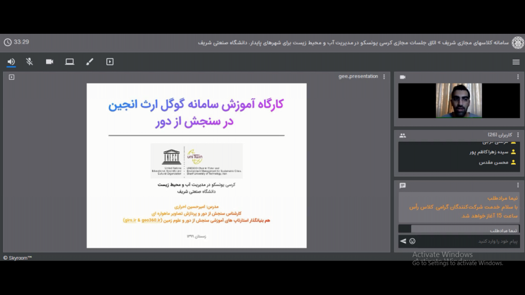
Instructor: Amirhossein Ahrari
Target Group: Experts and students of water, energy and environment from different disciplines and from all over the country.
1st workshop:
An 8-hour workshop (4 sessions) in February 2021
Topics:
- Introducing the applications and capabilities of Google Earth Engine
- Working with Landsat, Sentinel and MODIS satellite imagery
- Producing various thematic maps and monitoring environmental phenomena
- Identify flooded areas in satellite imagery
- Calculation and extraction of meteorological variables and work with evapotranspiration products
- Processing digital terrain models
- Producing agricultural product maps and monitoring the changes in cultivated area
- Detection of anomalies and producing perennial products
Number of participants: 29
Number of women among participants: 10
2nd workshop:
A 6-hour workshop (2 sessions) in March 2021
Topics:
- Calculating the surface temperature using Landsat images
- Working with evapotranspiration products
- Calculation and monitoring of urban thermal island
- Identify flooded areas using Sentinel-3 images
- Monitoring the surface area of dams
- Working with Landsat environmental products (vegetation, water, urban area)
- Monitoring the temperature, chlorophyll, organic matter and high seas anomalies
- How to work with Grace satellite data to study aquifers
- Combination of Landsat satellite imagery to enhance spatial detail
- Combination of Sentinel-2 images to enhance spatial detail
Number of participants: 12
Number of women among participants: 2